
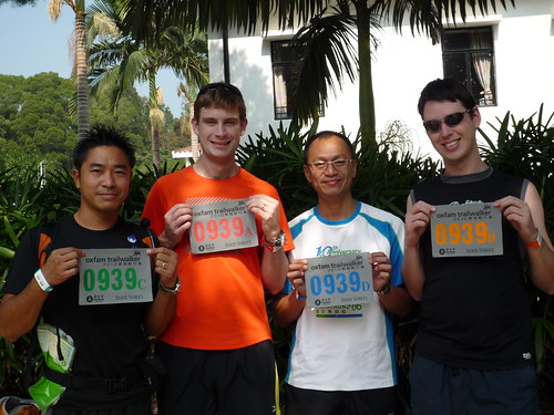
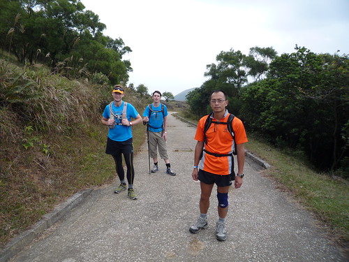
The team, all smiles, ready to set out
In the hills on Section 2 with the Sun beating down
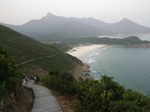
Approaching Ham Tin Wan, luckily we don't have to go over that large mountain looming on the horizon (Snake Mountain?)

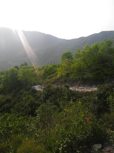
The sun sinking into the haze over Section 2
Still moving along Section 2
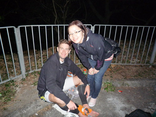
Resting my feet at our first support: dinner!

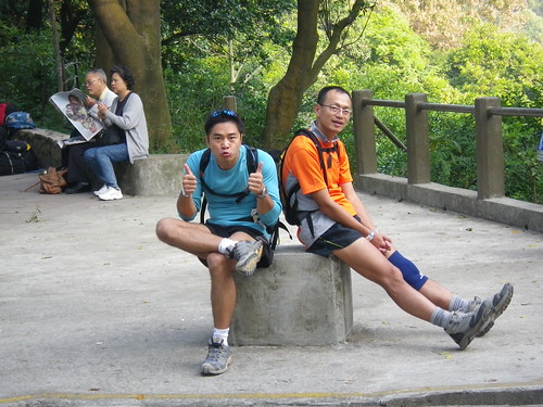
All the gang still smiling before the toughest climb of the route: Section 4
The next morning at the start of Section 7. Wai's ready to go!
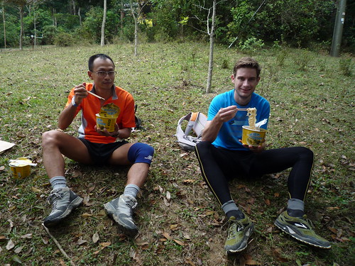
Cup noodles at the Start of Section 8
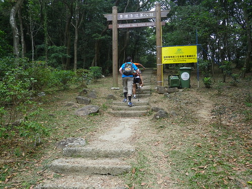
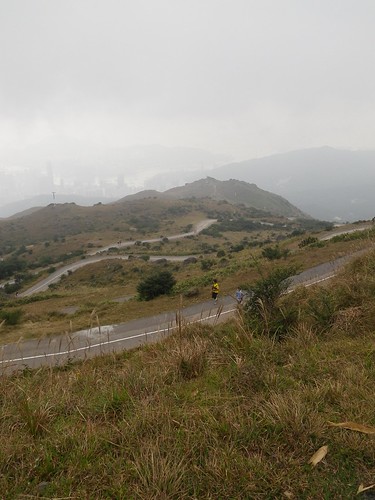
Starting up towards Hong Kong's highest mountain
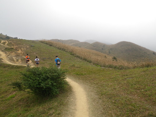
Wavy hills as we wind up way slowly upwards
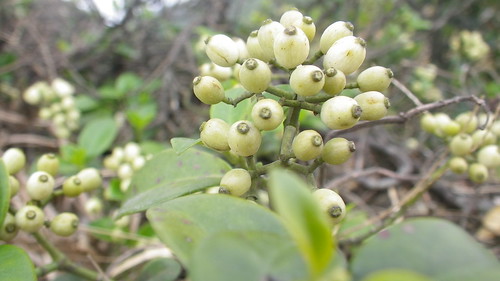
Not gum-nuts but some kind of berries!
Grinding up the final road that leads to the peak of Hong Kong's highest mountain: Tai Mo Shan. I can't tell if I'm trying to smile or squinting in the bright-ish light!
What goes up, must come down... Unfortunately on these winding dull roads
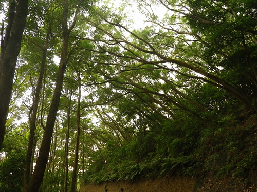
Talk about a "Green Roof". Section 9
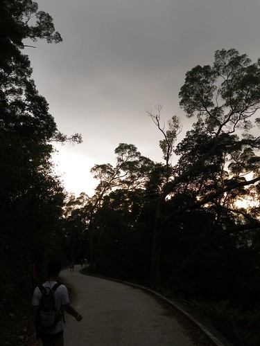
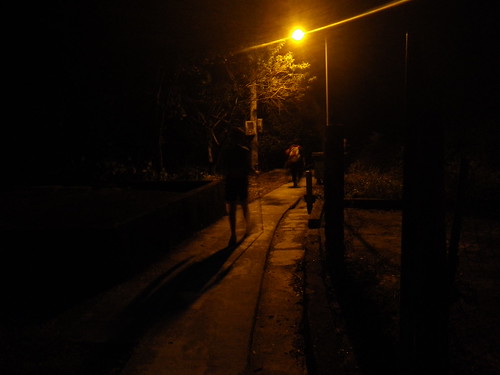
The sun sets for a second time as we approach the end of Section 9
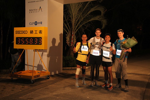
All smiles.. Pssshh 100km? Not that bad
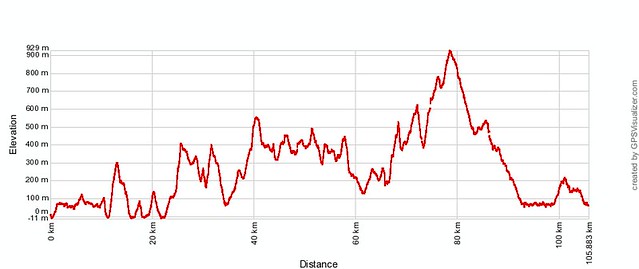
The elevation profile. Every upward spike you see here is a serious mountain and you can probably match the first half of this profile to my long run a couple of weeks ago. Despite appearances the second half of the course is significantly easier than the first. The distance displayed is ~105km. That's probably about 1-2km out but I think the course is definitely longer than the vanilla 100.
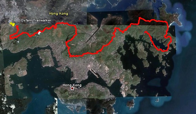
Basically a map of Hong Kong (in fact, more of Hong Kong than most maps show!) with a squiggly red line on it!
Well... apologies for not writing more on this topic, I might come back to visit it again later, but will try to update the latest runs first before tackling this (mostly) walk.
See you on the long road!
~ Joe
No comments:
Post a Comment