
It was a bit sunnier than I would have liked, but the air temperature was still quite cool... This is going to be a photo heavy post since it was so damn beautiful up there, so sit back and relax:
Heading across the bridge out of UST, looking up at the target: Razor "Hill"
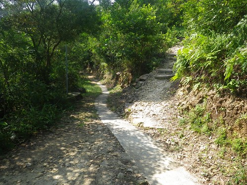
Been here before, but this time choosing the steep uphill path to the right!
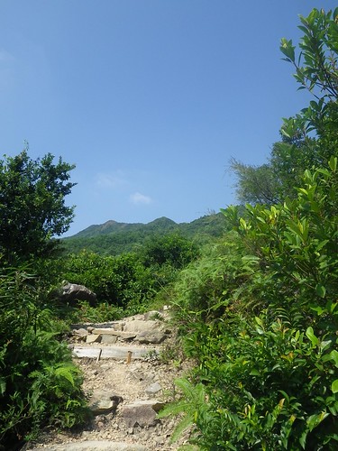
Looking along the ridgeline towards the high-point of Razor "Hill". I swear it looked closer before!
Looking back down the hill at the steep, steep stairs. My normal trail run contours the spur on the left of the picture down to the buildings in the centre.
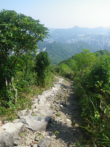
Getting up there now. That's still the same spur in the middle of the photo!
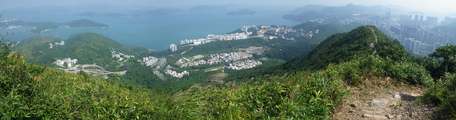
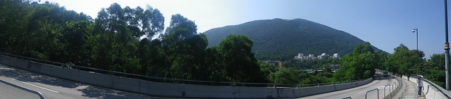
A panorama from just about the top. From right to left: Po Lam residential towers, the path I followed up, HKUST in about the middle of the photo and almost Sai Kung on the left edge.
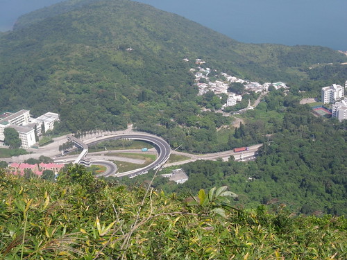
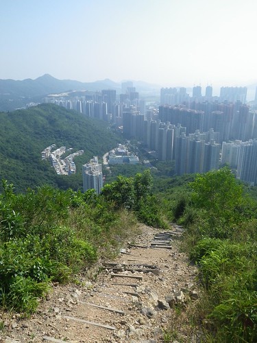
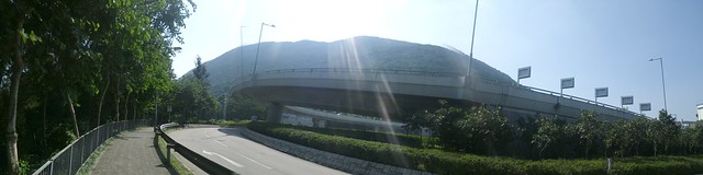
Looking down at the highway overpasses that I took the photo at the end near.
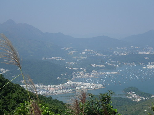
Hebe Haven and Sai Kung. The mountain in the background is on Stage 3 of the MacLehose Trail (I think).
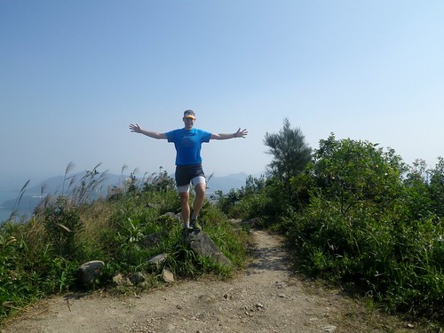
A (rare) self-portrait. I wanted to get one of me standing on the datum post, but couldn't find anywhere else flat, so ended up taking it from the datum post. On another note: Wow... talk about thunder thighs!
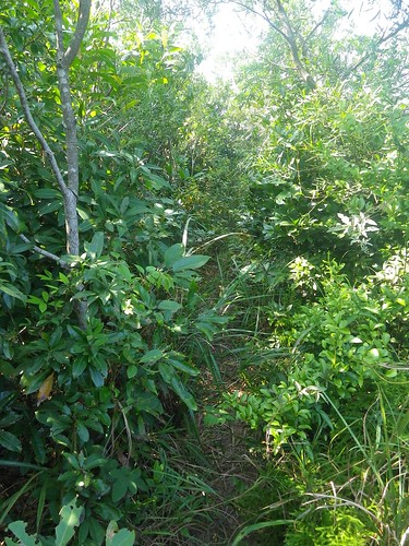
It wouldn't be a proper Hong-Kong-Joe-Gray Trail Run with a bit of bashing through the jungle! The descent was heavily vegetated.
Almost back at HKUST looking up towards the "hill"

You've probably noticed that I've taken to putting the "hill" part in inverted commas... not sure exactly if a 438m peak still counts as a hill!
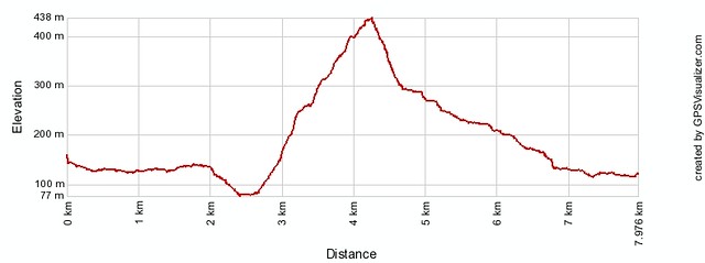
With over 400m elevation gain, just about all within ~1.5km, this run is hardly a push over. On the uphill slopes, however, the gradient was just too steep for me to run, so I ended walking up about 30% of the slope I guess, so, on the downhill sections I was still feeling fine. Also, I underestimated the 8.5km length a little (by about 30%!), so it took me longer than expected.
A great dirt trail, an isolated location and fantastic vistas. Another awesome box ticked!
See you on the slopes!
~ Joe
No comments:
Post a Comment