
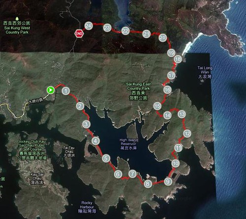
Section 1 starts in Pak Tam Chung in Hong Kong's far east, before winding along a road that skirts High Island Reservoir.

Running out along the road, the sun already fierce at 9.30am
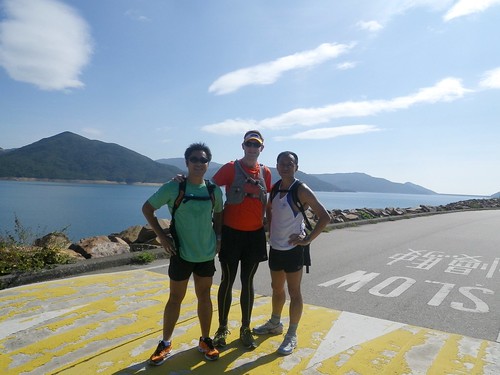
Wai didn't like my suggestion of the team name: "The Wolf Pack". Maybe it doesn't sound as cool in Cantonese?
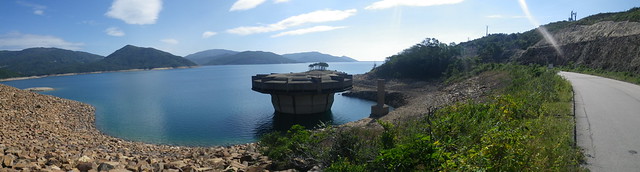
An alien looking over-flow drain. It'd be awesome to see this thing in action!
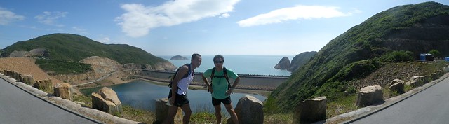
Reaching the Dam wall, which just about marks the end of Section 1
Section 2 (thankfully) moves off the road onto an occasionally paved, largely dirt but at some points hideously sandy trail. I was about to learn two things: 1. Section 2 is not flat as Wai described it; and 2. Hong Kong does have some beautiful beaches afterall!

Descending down to Long Ke Beach
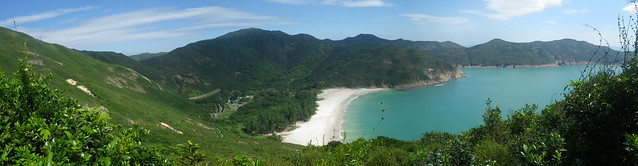
Stunning!
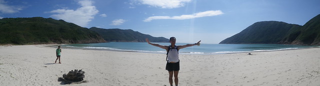
Almost as good as an Australian beach... just missing waves!
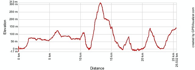
Of course, after discovering the beach, I discovered point 1 as we quickly gained about 300m directly off the beach.
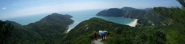
Quickly gained hight above the beach. The other hikers are using umbrellas for sun protection!
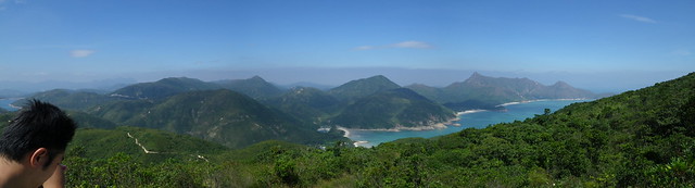
Section 2 then proceeds to follow the coastline, quickly gaining height before dropping down onto successive beaches!
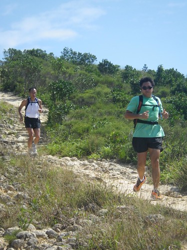
Rocky downslope running

Onto the beach
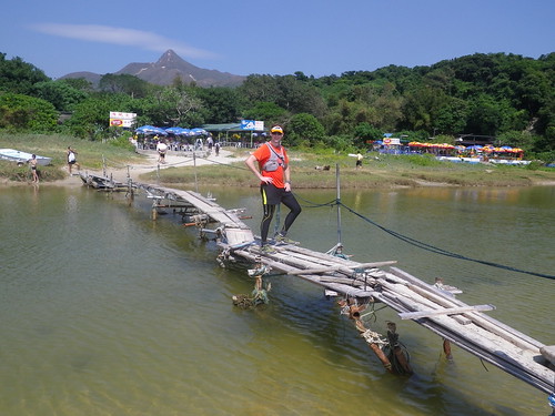
Engineered to perfection, this wooden plank bridge crossing a river mouth
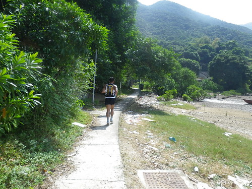
The final flat section before climbing the hill directly ahead to Pak Tam Au
A great run.
An awesome route that visits (from what I've seen) far and away, Hong Kong's best beaches. Next time I'll remember to pack a pair of bathers and a towel!
So...
Found: Hong Kong's most beautiful beaches.
Lost: My new Go-Lite running visor! T_T < that's a crying icon
After finishing the run, I took off my visor and pack, put it on top of the car and sat down to empty the sand out of my shoes. When I put my shoes back on and stood up, I picked up my pack and forgot my visor! It's probably sitting sadly alone on the ground in the Pak Tam Chung parking lot.
At least it saw about 130kms in the ~2 weeks I had it. Now I'll have to hunt around for a replacement!
Mourning my loss...
~ Joe
No comments:
Post a Comment