
If you expected this title to refer to legs burning with exertion while climbing a hill... you're only partially correct. This run/hike also had large sections of completely burnt-out terrain, sun-burn and to top it off, a nearby bush-fire (called hill fire here) that added a touch of suspense to the event.
The day looking overcast and cool... but looks can be deceiving, the strong wind and relatively low humidity were perfect for fires.
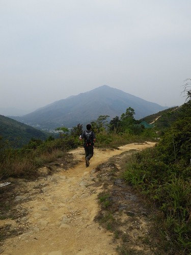
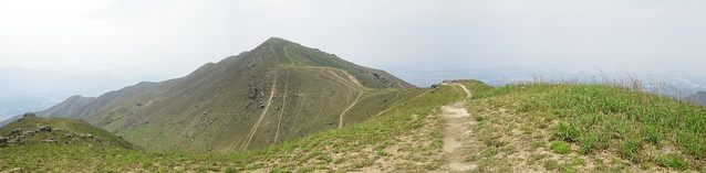
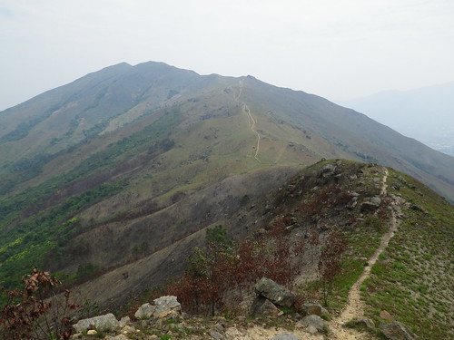
Wai cruising along a great dirt trail section, with out ultimate goal, Kai Kung Leng, in the background
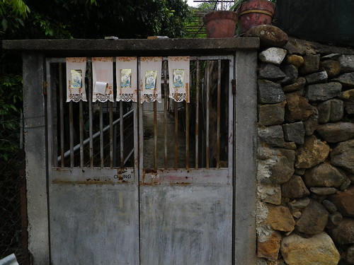
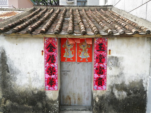
A village house
Getting lost trying to find the start of the trail
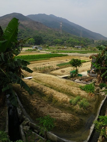
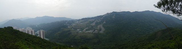
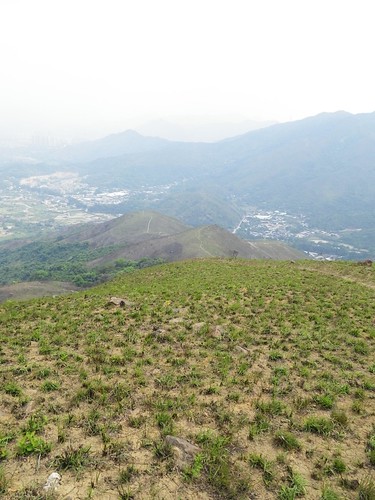
Village farms with Kai Kung Leng dominating the skyline
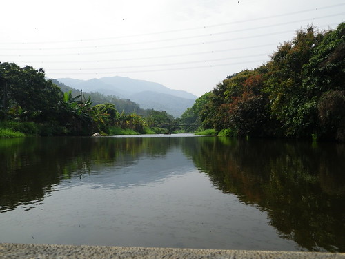
Crossing a dam allowed an almost water-level shot
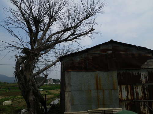
Farm building
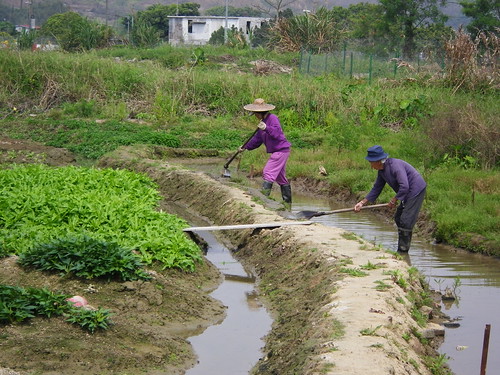
Woman working in the fields
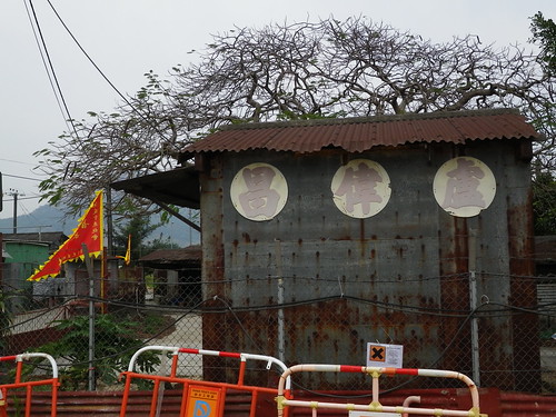
A village building
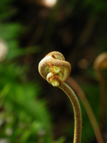
Knotted fern
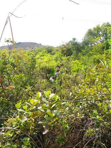
Wai signalling his approval of the scrub bash up onto the trail
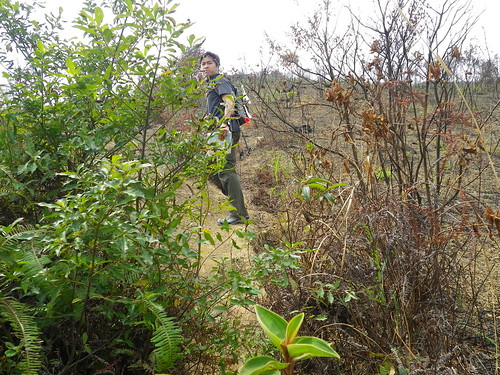
The cut off from a previous fire was very sharp. The trail went from a very dense scrub bash to complete desolation
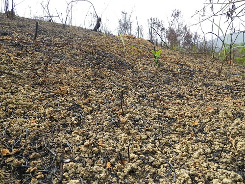
Showing the extent of the destruction. Even the complete soil structure was destroyed
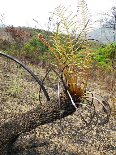
A fern recovering
Black sticks and cool rocks make for and alien landscape
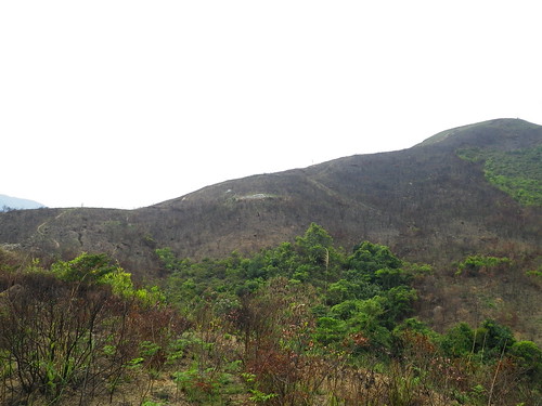
Looking across at the hill, the cut-off couldn't be clearer
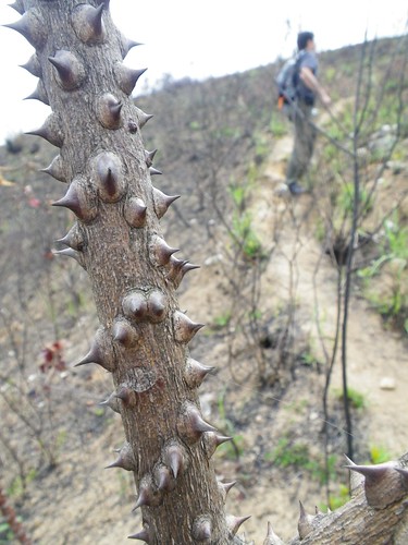
Thorny
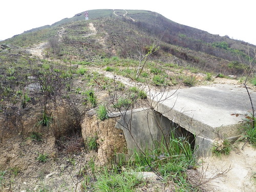
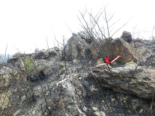
WW2 battlements all-along the hills with trenches, rusted barbed wire and concrete pill-boxes / fortified positions exposed after the de-foliation
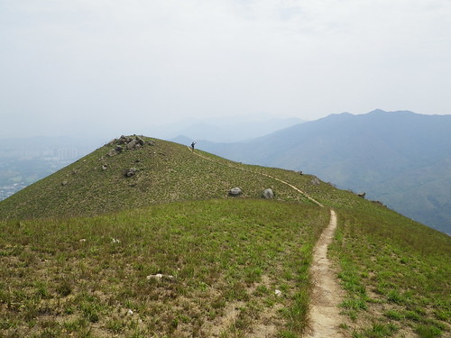
Getting higher on the hill and despite being burnt, fast growing grasses add a green carpet
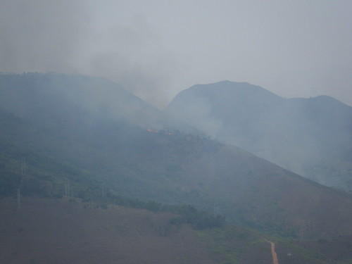
More fires! About half an hour up Kai Keng Leng, I noticed smoke rising from the next mountain/hill to the north. Wai dismissed it as a village burn-off, but 10 minutes later the hill-fire (bushfire) was very obvious. Around this time I noted that the rather strong wind was coming towards us... hmmmm, not exactly the best thing!
Despite the poor photo (through layers of smoke) the flames here were probably at least 2 metres high and every time I looked back at the hill the fire had moved an alarming distance towards us. Luckily HK type hill fires don't often have forward spot-fires, and the fire would have to cross a valley/saddle to get onto our hill.
Looking back the way we'd come, we pushed hard up this hill to get to top and move fast past the saddle connected to the burning hill to the north
Wai catching up as we almost reach the summit
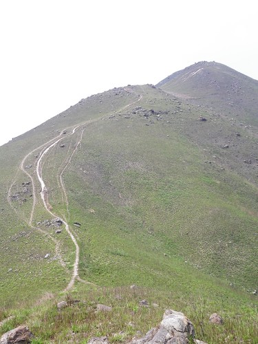
Dirt bike tracks cris-cross the paths ahead... almost there!
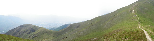
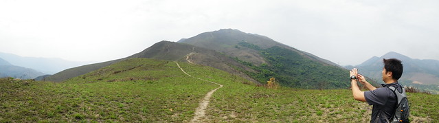
Hazy conditions (partially from the nearby fire, partially just because of bad pollution) but stunning scenery none-the-less
Looking from one of the twin peaks across to the next. By the time we'd reached the summit, the wind direction had changed, pushing the fire away from us. It was also around this time we noticed the helicopter ferrying water from the Sham Chun River to the fire
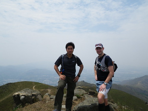
Summit photo
Steep downhill sections. Prefect if I had a bike!
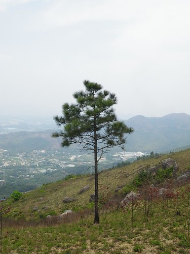
A pine stands alone
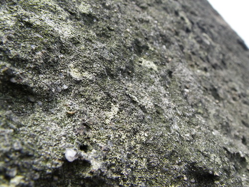
Lichenous rock
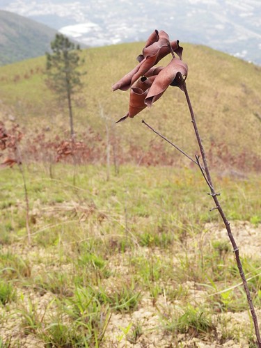
Dried, but not necessarily burnt
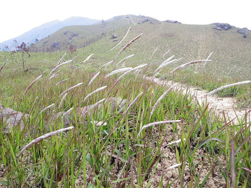
Grasses, with the two peaks fading into the background
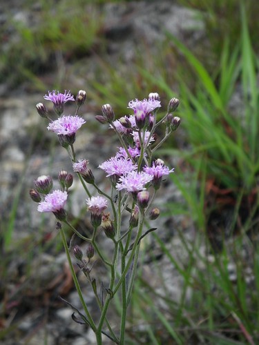
Pink daisies (I guess)
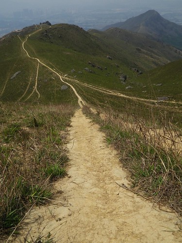
Looking back on the path trodden

Wonderful textures
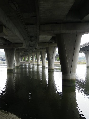
After coming down from the trail, we decided that the 2km mostly river-side paved run back to Yuen Long was preferable to waiting around and taking a bus just a couple of stops. We passed under this freeway
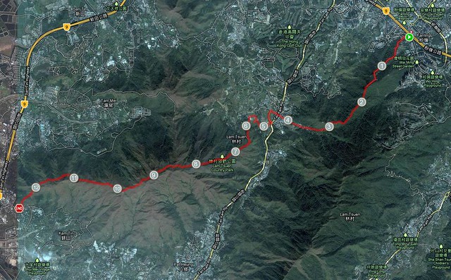
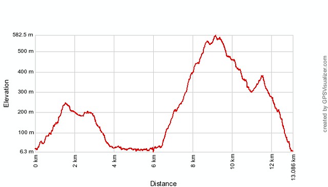
The Kai Kung Leng Trail starts around the 6km mark (as is evident from the steep climb on the elevation profile. None of the 2-3km of paved road, post-trail, back to Yuen Long is included in either the map or profile. The hill that was on fire is also easily spotted on the map as the heavily vegetated mountain directly north of the 8 and 9km markers.
The steep uphill section accompanied by the approaching fire certainly added a sense of urgency to the hike, with us both keen to keep one eye on it's approach and the other spotting exit routes down the opposite side of the mountain.
Regardless of this however, as is obvious from the photos, the scenery on this mountain is simply magic, and I can't think of a better place in Hong Kong to head out to on one of our (unfortunately rare) really clear days. The views to HK's tallest mountain to the south (almost invisible to my camera in the haze), Shenzen to the north and the Pearl Harbour / Delta to the west would be spectacular.
Hope to see you out on the trails, and hope to see your photos of the trails!!
~ Joe
No comments:
Post a Comment